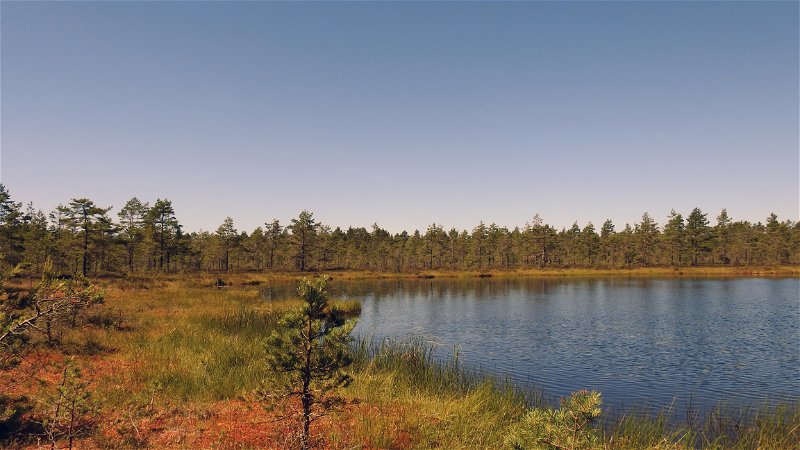
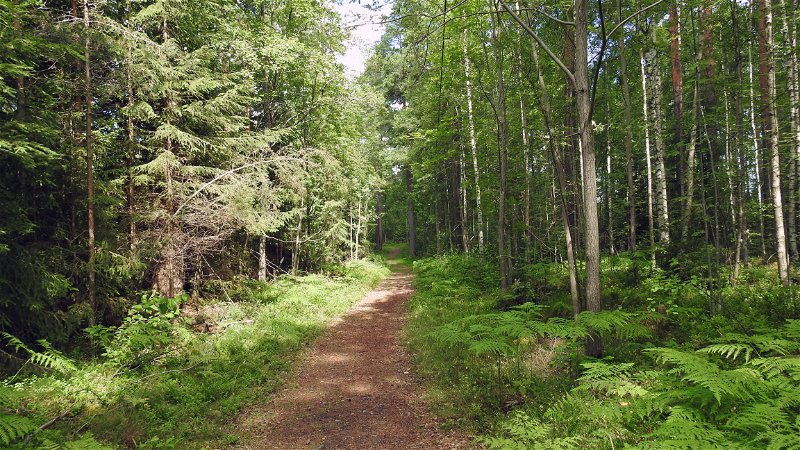
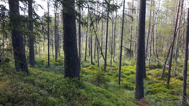
Northeast of Hova is Högsåsen nature reserve, which is part of the Stora Tiveden area. In this area with exciting Tiveden nature and cultural history, you will find hiking trails of varying length and difficulty.
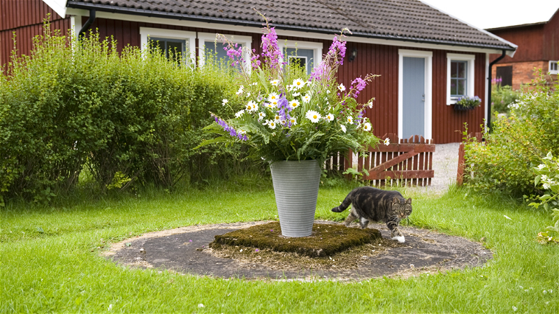
Högsåsen Nature Reserve is a small nature reserve as far north in Västra Götaland County as you can get. The reserve was established in 1975 by the County Administrative Board as an example of a centuries-old cultivated cultural landscape in forest areas. The reserve covers 5.5 hectares - the size of 8-9 football pitches. Read more about Högsåsen in an informative magazine.
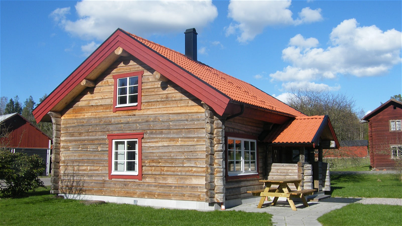
Hiking trails The Högsåsen area offers various trails in mixed nature with Tived elements. All trails start and end from the information center, which is housed in a small red cabin on the reserve. You get there if you follow the road into the reserve from the large parking lot. The lengths of the trails vary and are well marked with small signs. An overview with trail quick facts:
- Trail A, Reserve vicinity Length: 1.2 km Time required: 14 min Difficulty: Medium Terrain: Forest path and gravel roadTrail map for downloading/printing
- Trail B, Södra Högsåsen Length: 2.5 km Time required: 30 min Difficulty: Medium/easy Terrain: Forest path, forest road and gravel roadTrail map for downloading/printing
- Trail C, Slottsbol Length: 5 km Time required: 1 hour Difficulty level: Easy Terrain: Path, forest road and gravel roadTrail map for download/print
- Trail D, Kvarnfallsleden Length: 5.4 km Time required: 1 hour & 5 min Difficulty: Easy/medium Terrain: Path, forest road and gravel roadTrail map for download/print
- Trail E, Korterud Length: 5 km Time required: 1 hour Difficulty: Easy/medium Terrain: Path, forest road and gravel roadTrail map for downloading/printing
- Trail F, Roparkorset Length: 10 km Time required: 2 hours Difficulty: Medium/easy Terrain: Forest path, forest road and gravel roadTrail map for downloading/printing
- Trail H, Järnvägsleden Length: 8 km Time: 1 hour & 35 min Difficulty: Medium/easy Terrain: Forest path, forest road and gravel roadTrail map for download/print
- Trail N, Narven Length: 4 km Time required: 50 min Difficulty: Easy/medium Terrain: Forest path, forest road and gravel roadTrail map for download/print
Miles of views Högsåseberg reaches 216 meters above sea level and has miles of views. In good weather you can see Billingen to the left and Kinnekulle to the right.
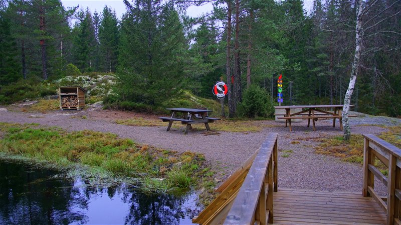
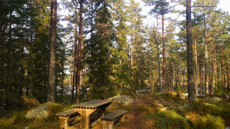
Nice coffee places The light and silence of Högsåsen fascinates many people and if you want to enjoy it with a coffee, it always tastes extra good at Högsåseberg. However, there are more lovely places with coffee tables in the reserve. If you prefer to grill, there are also organized barbecue areas. The toilet is open all year round.
There are also cozy picnic areas at Kvarnfallet and Lake Narven, a scenic forest swimming area.
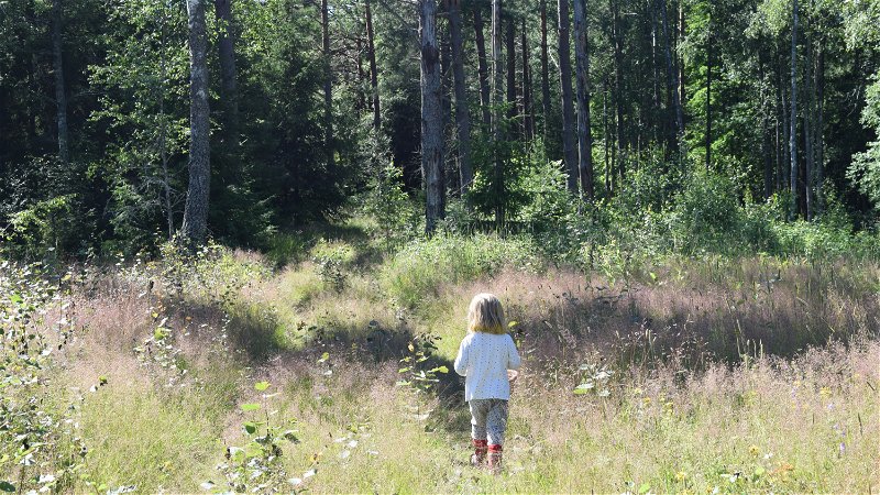
Curiosities The reserve is known for its large and mixed noble trees, four of which are purely classified as key biotopes. The reserve is a paradise for various butterfly species. In the hay meadow you can come into contact with no less than 130 different plant species.
The troll cub's footprint in the mountain The troll cub's footprint is a hollowed-out small footprint in the mountain about 12 cm long with a hollow foot, heel and four toes just like the trolls have.
Medicine pine The medicine pine is a magical pine and a so-called children's tree. The pine is one of nature's tricks and consists of hundreds of knots.
Directions
By car Högsåsen is located about 10 km northeast of Hova. At Hova, turn off the E20 and follow the signs to Gårdsjö. Continue through the community of Gårdsjö by following the signs to Högsåsen, which is approx. 3.5 km after Gårdsjö.
By train and on foot There are train stations in Gårdsjö and Hova.
From Gårdsjö there is no public transport to Högsåsen. From the train station in Gårdsjö it takes about 45 minutes to walk there.
From Hova to Högsåsen and vice versa it is 12 km on foot. It is an easy hike regarding the terrain. A trail description with map for downloading/printing. The trail is also an excellent cycling route.

